| Maps
Click the
thumbnail images for a larger map. Use your browser's 'Back' button to
return to this page.
|
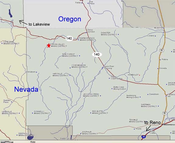
Getting to Virgin Valley:
From
Lakeview Oregon:
Go east on Hwy 140 about 85 miles. When
you
pass a rest area on the right you are about 1/2 mile from the dirt road
which turns right to the free campground and Opal Mines.
From Winnemucca, Nevada:
Take Hwy 95 North approximately 35 mines to Hwy 140 and turn left. When
you reach Denio Junction, Hwy 140 will again turn left. It is
approximately 25 miles from Denio Junction on Hwy 140 to the graded
dirt road that turns left to the free campground.
|
|
|
|
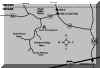
| Collection
sites and public campground |
 |
|
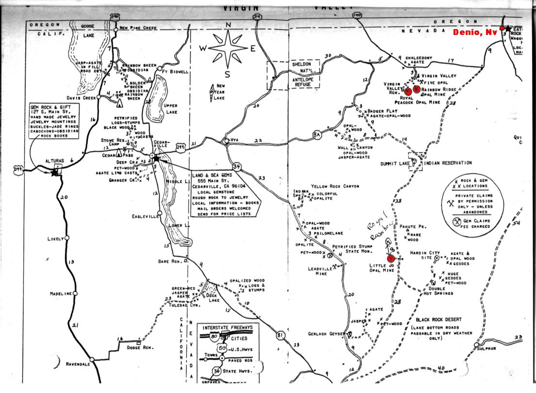
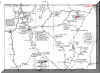
| Rockhounders map of the
area from
Alturas, CA to Denio, NV. Shows access roads, collection sites for many
types of rocks and minerals. Virgin Valley collection sites are
highlighted. |
 |
|
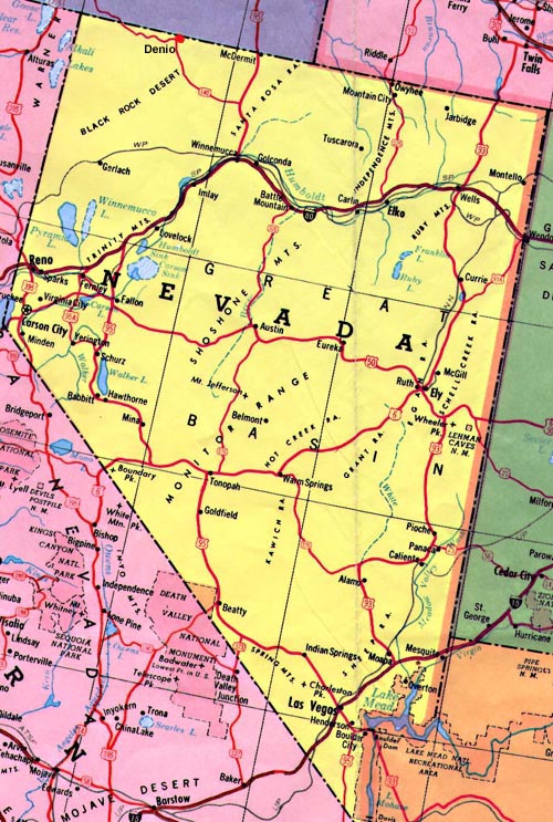
| Political
Map of Nevada |
|
|
|
|
|
Map
Resources:
Opal
Queen Mine
* Western Gem Hunters Atlas
* Brain
Bank
|